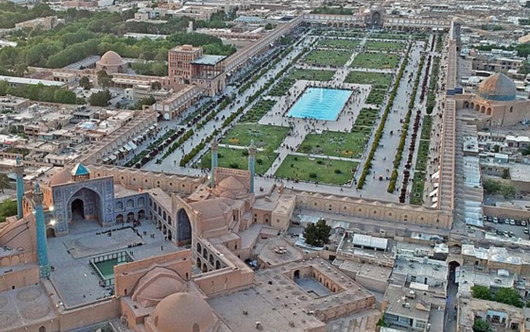
Iran launches monitoring plan to track land subsidence at historic sites

TEHRAN - Iran has launched a national plan to monitor land subsidence in and around its historical sites, according to Seyyed Hamid Pourmohammadi, Head of the Planning and Budget Organization.
Speaking at a session with senior officials from the Ministry of Cultural Heritage, Tourism and Handicrafts on Saturday, Pourmohammadi announced the start of a joint initiative with the National Cartographic Center to systematically track land subsidence in heritage areas, ISNA reported.
He emphasized that the Planning and Budget Organization fully supports well-structured, transparent, and actionable plans and projects aimed at safeguarding Iran’s cultural assets.
“The challenge of land subsidence in historical zones is real and growing. We have now initiated a scientific and continuous monitoring plan to address this issue,” Pourmohammadi said. “Our organization is ready to expand cooperation, including providing early warnings and implementing preventive strategies.”
He also underscored the need to integrate modern technologies into heritage preservation efforts, suggesting the development of smart monitoring systems, the installation of permanent surveillance cameras, and the establishment of scientific observation networks to ensure real-time oversight of vulnerable sites.
Tourism Minister Seyyed Reza Salehi-Amiri, for his part, echoed the concerns, describing land subsidence as a serious and escalating national threat to Iran’s historical heritage.
Salehi-Amiri called for the formation of a national task force to coordinate strategies for managing the crisis.
“Land subsidence is a hidden disaster, one that could cause irreparable damage to our cultural heritage in the coming decade,” Salehi Amiri warned. “
Over the past few decades, many cities and regions across the country have experienced land subsidence, which is increasingly threatening cultural heritage structures and sites.
Land subsidence in Iran five times global average
Available data suggest that the average land subsidence in Iran is five times the global average.
The average global land subsidence rate per year is about 3 centimeters, while the average land subsidence in Iran is about 15 centimeters, according to the National Cartographic Center.
Experts say the most important cause of land subsidence is the excessive extraction of underground water. Once it occurs, it is considered irreversible.
Land subsidence, a gradual settling or sudden sinking of the Earth’s surface due to subsurface movement of earth materials is mainly caused by aquifer-system compaction, drainage, and decomposition of organic soils, underground mining, oil and gas extraction, hydro compaction, natural compaction, sinkholes, and thawing permafrost.
In 2021, Gholam-Ali Jafarzadeh, the former head of the National Cartography Center, lamented that some 29 provinces are currently at risk of subsidence. He named two factors of climate change and human intervention as the most important factors of land subsidence in the country and noted that it is expected that we take measures to reduce the pressure on the environment.
AM
Leave a Comment